Guerre en cartes

-
Carte pour servir à l'éclaircissement du papier terrier de la Nouvelle-France J.-B. Franquelin. 1678
-
Carte générale de Canada L. A. de Lom d'Arce, baron de Lahontan. 1715
-
Lake Ontario & River St Lawrence from the lake to Fort William Augustus' in three pieces, taken from a French draft 1750

-
Plan of Fort Wm Henry and the English camps & retranchment with the French different camps & attack thereon 1750

-
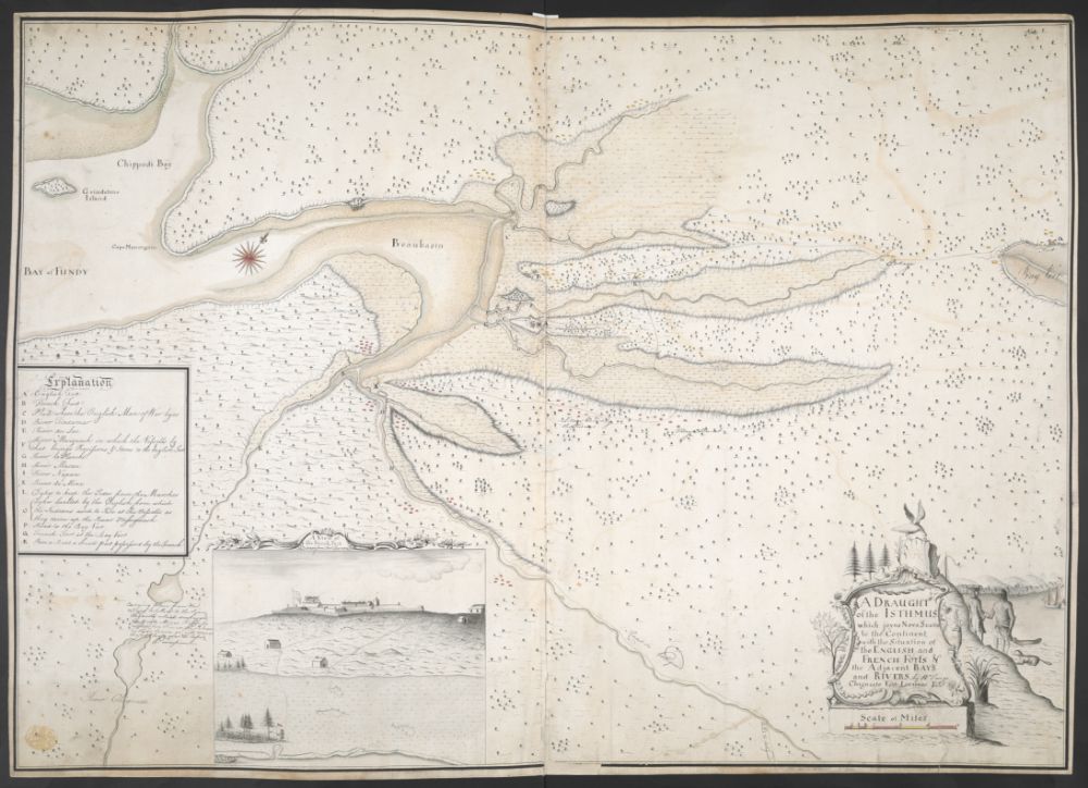
A draught of the Isthmus which joyns Nova Scotia to the Continent with the Situation of the english and french forts W. Tonge. 1755
-
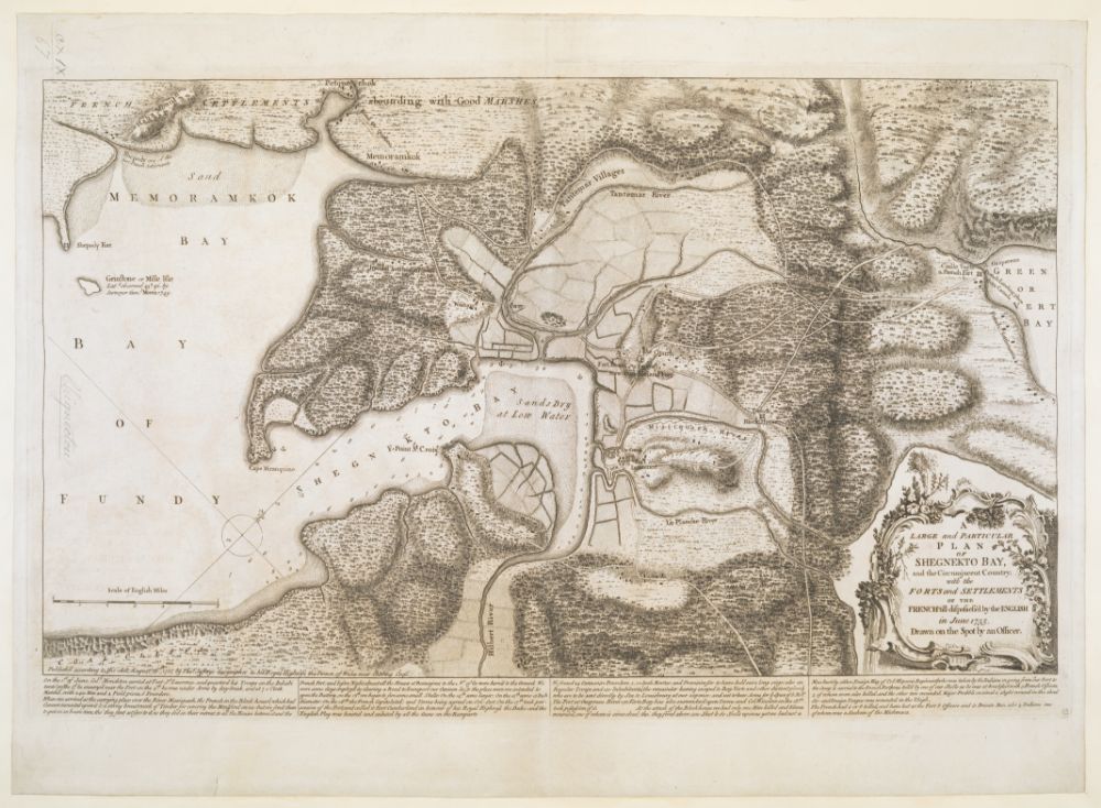
A large and particular plan of Shegnekto bay, and the circumjacent country, with the forts and settlements of the french'till dispossess'd by the english 1755
-
A large and particular plan of Shegnekto Bay, and the Circumjacent Country, with the Forts and Settlements of the French T. Jefferys. 1755
-
Plan of fort Le Quesne built by the french at the Fork of the Ohio and Monongahela in 1754 1755
-
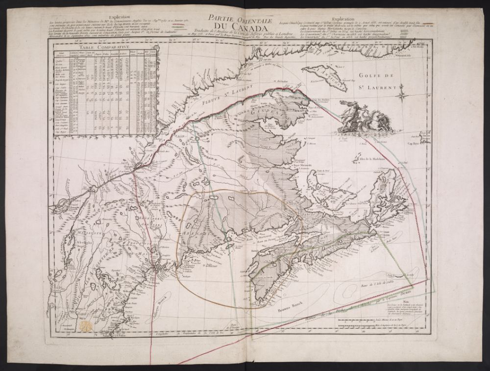
Partie orientale du Canada. Traduite de l'Anglois de la carte de Jefferys 1755
-
A map showing the northern part of Lake George and Fort Ticonderoga 1756

-
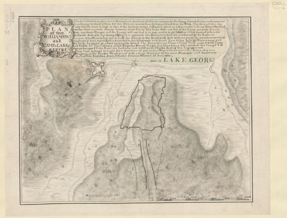
Plan of fort William henry and Camp at Lake george T. Sowers. 1756
-
Plan of the town and fortifications of Montreal or Ville Marie in Canada T. Jefferys. 1758
-
Plan of the Action on the Heights of Abraham near Quebec. Septr. 13th 1759
-
Plan of a rout (...), from Quebec, the capital of Canada, to the frontier settlements of the Township of Topsham J. Montrésor. 1760

-
A map of the sources of the Chaudière, Penobscot, and Kennebec rivers J. Montrésor. 1761

-
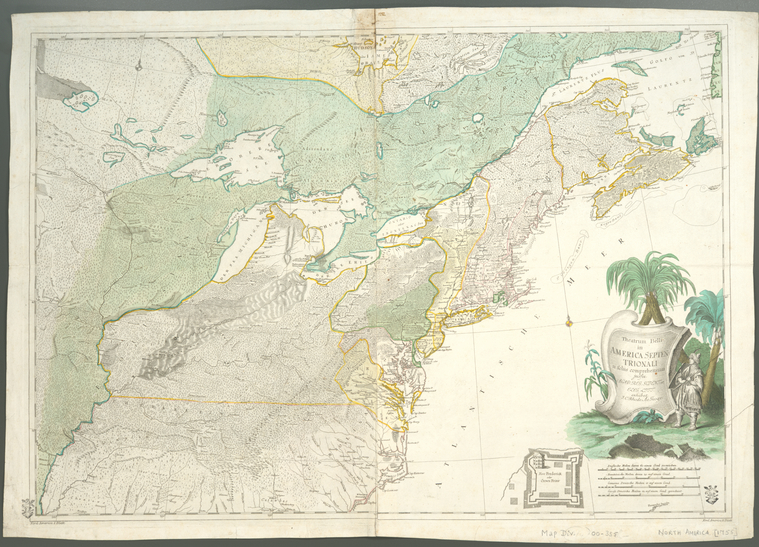
Theatrum belli in America Septentrionali : II. foliis comprehensum J. Rhode. 1761
-
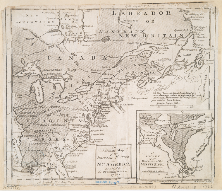
An accurate map of the British Empire in Nth. America as settled by the preliminaries in 1762 J. Gibson. 1762
-
A survey of Lake Champlain, from Crown Point to Windmil Point W. Brasier. 1762

-
Map of Nova Scotia, or Acadia J. Montrésor. 1768

-
Plan of the Action on the Heights of Abraham 28th. of April 1760 1774
-
The Draught of Genl. Braddocks Route towards Fort DuQuesne 1777
-
Plan of the Town and Fortifications of Montreal or Ville Marie in Canada T. Jefferys. 1779
-
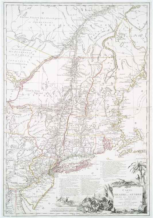
Carte du théatre de la guerre entre les Anglais et les Américains dressée d'après les cartes anglaises les plus modernes 1782
-
Carte du port de Louisbourg et de ses environs
.png)
.png)
